Steeped in stories, every brick and beam in Richmond’s historic homes have a tale to tell. As a historic property specialist, I’ve navigated the intricate lanes and corridors of Richmond’s architectural marvels. Whether you’re an enthusiast, a potential homeowner, or curious for more information on a specific home or property, join me on this journey through time, brick by storied brick. From the echoes of the past to the whispers of the present, this guide is your gateway to finding out more information on the beautiful historic homes that define the Greater Richmond Region.
Insurance Maps
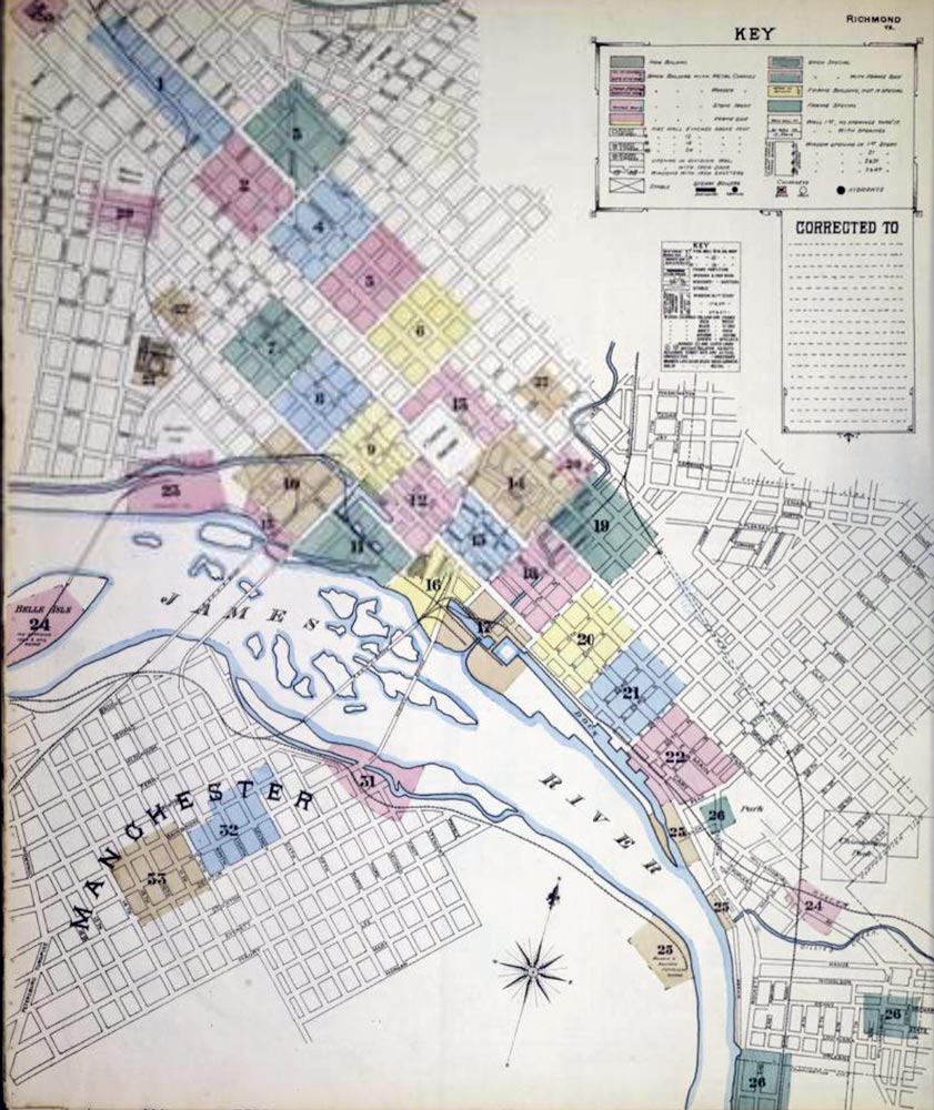
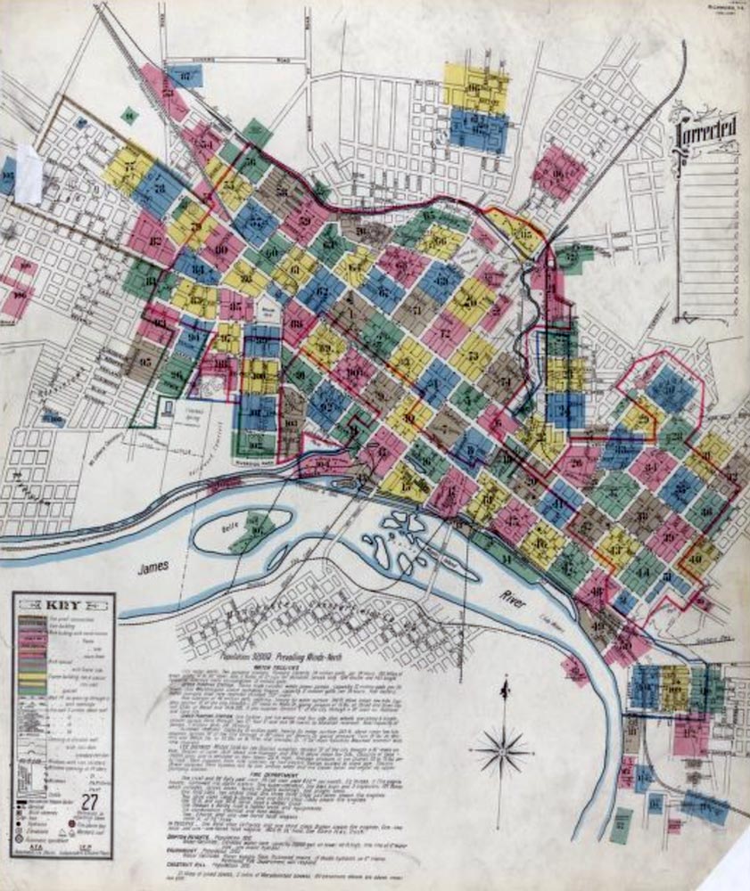
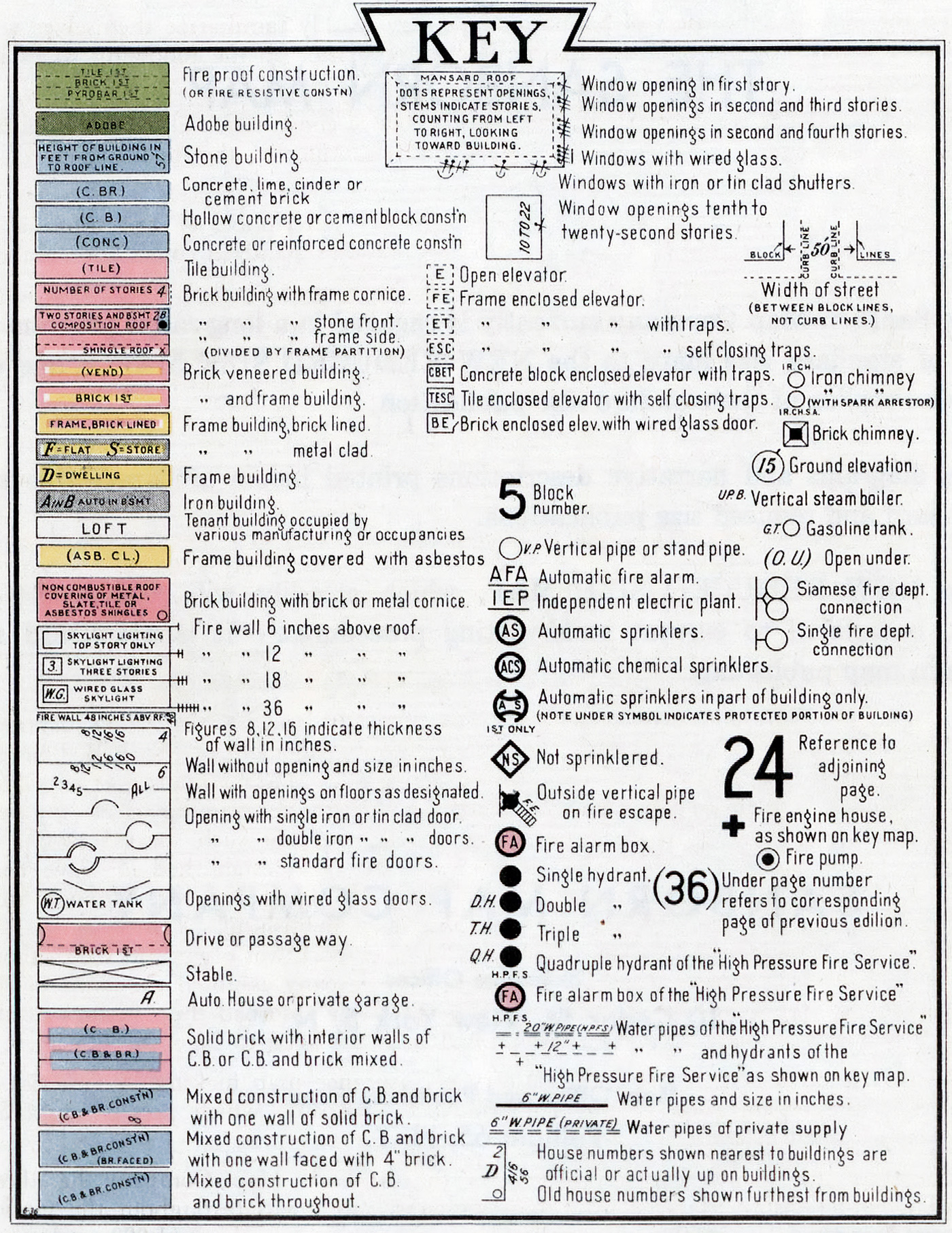
If you are looking to research a potential home for purchase or your existing home, there are many resources that you can look at that can help. Old, detailed Richmond, Virginia maps like the 1886 Richmond, Virginia Sanborn Fire Insurance Map or 1905 Richmond, Virginia Sanborn Fire Insurance Map can help you view the property as it was documented for insurance purposes. Sanborn Maps were initially designed to evaluate fire insurance liability in urbanized areas of the United States. These maps contain comprehensive information about town and building details in nearly 12,000 U.S. towns and cities from 1867 to 1970.
Click either image to open in a new window.
Historic Images and Aerials
There is an extensive collection of Richmond, Virginia photography available online. The archive includes aerials of the entire city limits, featuring major roads, intersections, and other landmarks. Additionally, the archive contains a comprehensive collection of vertical Richmond aerial photography and historical aerial photography in both color and black and white. For aerial photography, HistoricAerials.com is a great resource to type in your address and go back in time all the way back to 1952! There is also VintageAerials.com, a resource that includes aerials of all the surrounding counties. The Library of Virginia has a digital photograph collection at VirginiaMemory.com. Local resource, Dementi Studios, stands as a testament to Richmond’s rich photographic history housing an extensive archive of over a million snapshots of historic Richmond.
Historic Districts
In Richmond we recognize two primary historic designations. Firstly, the National Register, a federal title, doesn’t impose any restrictions on its listed properties. But on the flip side, the City Old and Historic Districts,which are locally recognized, have a tighter grip. They enforce guidelines on exterior modifications and any new structures that come up. It’s vital to know the difference, especially when navigating the real estate waters in the Greater Richmond Region. Also in Richmond’s intricate tapestry of history and architecture, the Commission of Architectural Review (CAR) stands as a guardian. Their mission is to keep the authentic charm of our historic neighborhoods and landmarks intact. Anytime someone proposes changes, whether it’s a fresh coat of paint, new construction, or even tearing down old structures within our treasured Old and Historic Districts, CAR steps in for a review. It’s part of what makes the Greater Richmond Region such a historically rich place to live and work.
Tax Records
Tax records can be gold mines of information. Diving into these records, you’re essentially peeling back the layers of time, uncovering details about property ownership, changes, and historical valuations. It’s fascinating and incredibly insightful. For anyone passionate about our region’s historic homes or considering buying or selling one, these tax records offer an invaluable look into a property’s past. Here are a few links for parcel mappers around the area: City of Richmond | Charles City County | Chesterfield County | Goochland County | Hanover County | Henrico County | King William County | New Kent County | Powhatan County


